
Hyperspectral Remote Sensing (HRS)
A research team led by Prof. LIU Cheng from University of Science and Technology and Prof. Si Fuqi from Anhui Institute of Fine Optics and Mechanics (AIOFM), HFIPS, CAS developed a comprehensive remote sensing algorithm that encompassed laboratory calibration before satellite launch, in-orbit hyperspectral calibration, and trace gas inversion for multiple components. This algorithm provided a long-term stable observation foundation for domestically developed satellites that experienced drastic changes in performance in space environments.
The team successfully achieved trace gas inversions, including nitrogen dioxide (NO2), sulfur dioxide (SO2), and formaldehyde (HCHO), based on the first domestic ultraviolet-visible hyperspectral satellite, known as EMI.
This technology has been instrumental in supporting some events such as the Beijing Winter Olympics and the China International Import Expo in guaranteeing air quality.
It holds significant promise for advancing environmental research, pollution control, and climate change mitigation efforts on a global scale.
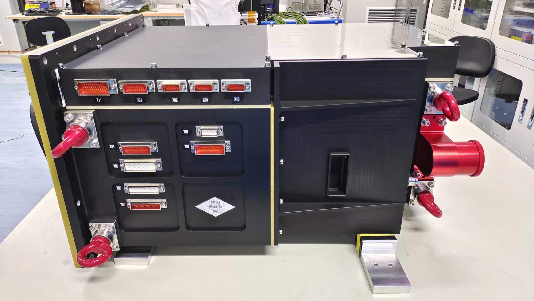
Data Processing and Inversion Technology of Greenhouse Gas Monitoring Instrument
This research was conducted by Prof. Xiong Wei’s team from AIOFM.
To meet the requirements of ground system construction of the greenhouse gas (GHG) monitoring instrument (GMI), key algorithms from the aspects of data error correction, whole-process spectral and radiometric calibration and GHG inversion were carried out, and the world's first data error correction and quality assessment methods of onboard spatial heterodyne spectrometer were proposed.
Meanwhile, the most comprehensive whole-process calibration algorithm and a full-physical inversion model under complicated earth-gas conditions for GMI were designed to acquire high-precision and long-term stable carbon monitoring data.
This achievement laid technical foundation for the accurate observation of greenhouse gases and carbon cycle research.
Atmospheric Correction Products for the GF-7 Satellite Two-Line Array Camera
This achievement focused on addressing the challenges of quantitative radiometric measurements for the GF-7 satellite's two-line array camera, specifically tackling the issue of atmospheric interference.
The team led by Prof. HUANG Honglian constructed a mathematical model for the transmission of light waves through the atmospheric medium, analyzed the impact of radiation signals in complex atmospheric transmission and achieved precise removal of atmospheric interference, thereby obtaining the true surface reflectance of objects.
After atmospheric correction, the GF-7 satellite's two-line array camera produced high-quality imagery and achieved a high level of quantitative accuracy. The corrected images exhibited significantly improved contrast and clarity. The high-quality surface reflectance products contributed to improved identification and classification accuracy of land features in remote sensing images.
It holds significant importance for land use and land cover change monitoring and finds extensive applications in industries such as mapping, transportation, and construction.
Atmospheric Trace Gas Differential Absorption Spectrometer
Atmospheric trace gas differential absorption spectrometer (EMI) satellite payload is for hyperspectral observation. It is used to obtain hyperspectral remote sensing products from ultraviolet to visible band, and then to quantitatively monitor distribution and change of global atmospheric components.
It enabled the satellite to provide valuable data support for atmospheric ecological protection and climate change research by quantitatively capturing changes in regional and global air quality as well as the distribution and transport of pollution gases.
The EMI primarily detected ozone, SO2, NO2, HCHO, and other trace gases. With its ability to achieve daily global coverage, the high-spectral observation satellite equipped with the EMI facilitates comprehensive monitoring of pollution gases.
It continuously monitored key pollution areas such as the Beijing-Tianjin-Hebei region, the Pearl River Delta, and the Yangtze River Delta, allowing analysis of the spatial and temporal distribution characteristics and annual trends of pollutants.
Hyperspectral Remote Sensing (HRS) (Image by HFIPS)

Image by Atmospheric Trace Gas Differential Absorption Spectrometer (Image by HFIPS)

Atmospheric Correction Products for the GF-7 Satellite Two-Line Array Camera (before and after) (Image by HFIPS)

The data captured by EMI showed a high concentration of SO2 above the eruption vent after the first explosion. (Image by HFIPS)